Our SOLUTION
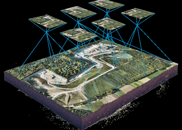
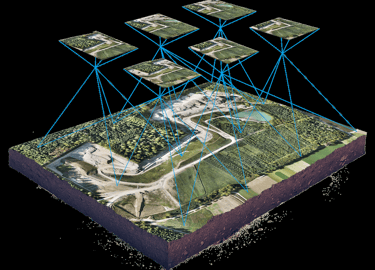
We deliver innovative solutions for processing, analyzing, and visualizing spatial and geographic data across various domains, offering tailored insights and customized approaches to diverse challenges.


Our SERVICES
Explore our advanced technology-driven service offerings for various applications.
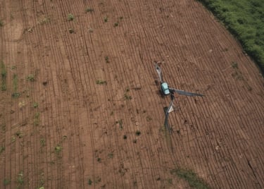
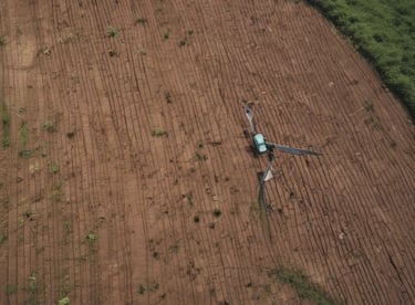
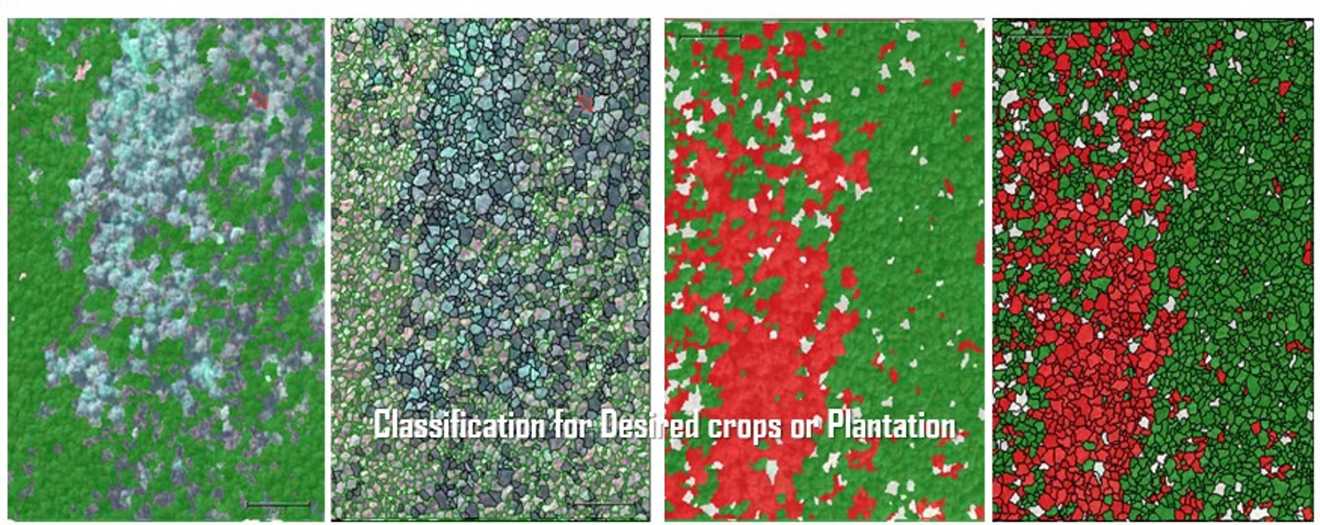
Agricultural Monitoring

Forest Dynamics
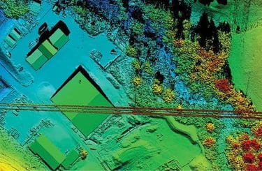
Topography Mapping


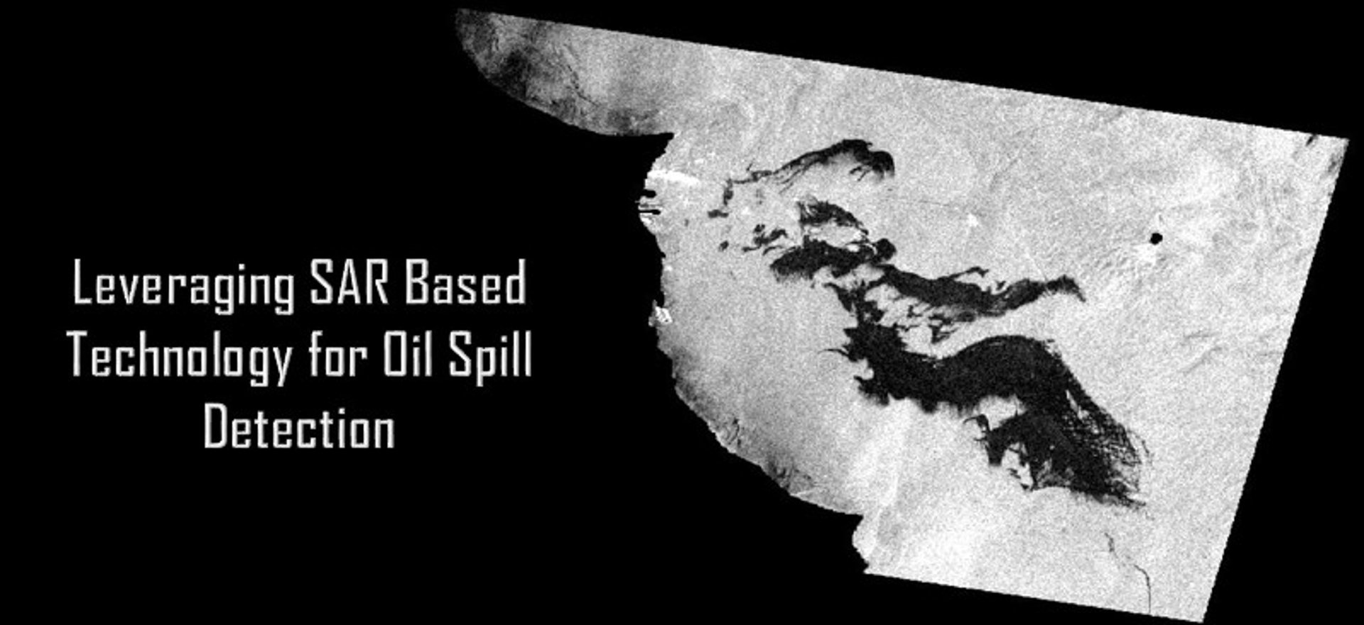
Disaster Mitigation
Mining and Mineral Exploration
Empowering disaster resilience through spatial data-driven hazard detection and mitigation planning
Supporting responsible mining through spatial analysis of resources, landforms, safety and environmental impact zones.
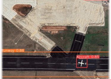
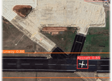


Defense Intelligence
Environment & Renewable Energy Monitoring


Leveraging advanced imagery and AI for defense reconnaissance, surveillance, and tactical decision-making
River Basin Mapping and Management
Supporting sustainable environment through continuous monitoring
Smart river basin management through accurate mapping, hydrological insights, and spatial decision tools
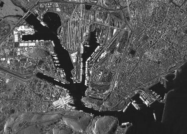
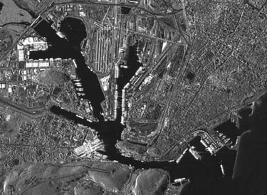
Smart City Planning
Precision analysis for enhanced agricultural productivity and sustainability.
High-precision elevation and terrain analysis for efficient land development and infrastructure planning
Leveraging high-resolution imagery for rapid change detection, and strategic planning
End-to-end forest dynamics analysis to support climate resilience and forest conservation
Get in Touch
Contact us to discuss your geospatial needs and discover how we can empower your business with precision solutions tailored to your requirements.
Connect
+91 789 0000 128
Reach
geolytica@atomostechnologies.com
Your gateway to powerful geospatial solutions.
Contact
Inquiries
geolytica@atomostechnologies.com
+91 789 0000 128
© 2026. All rights reserved.