MAPPING THE FUTURE ONE PIXEL AT A TIME
Discover Our Innovative Geospatial Solutions for Urban Planning, Agriculture Monitoring and environmental challenges.
Agriculture Monitoring


Disaster Mitigation
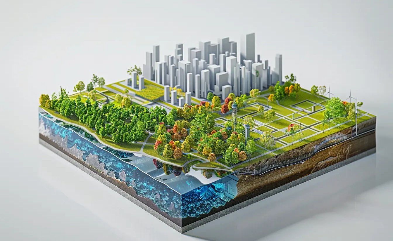
Climate change and Environmental Assesment
What we do?


Forest Carbon Dynamics
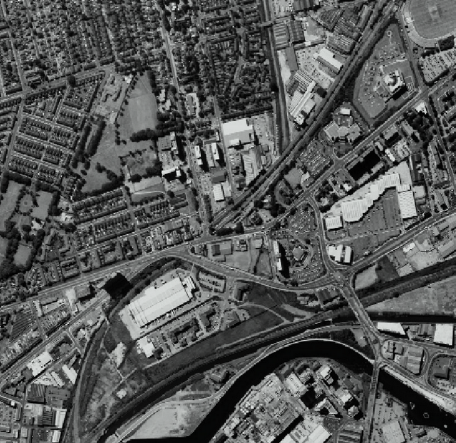
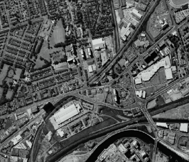
Urban and Infrastructure Planning
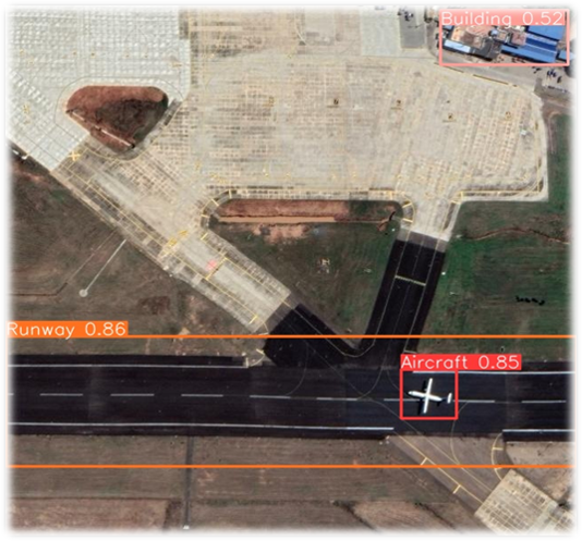
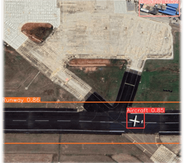
Defense and Intelligence
Empowering Future Through Geospatial Precision
At GeoLytica, we offers Satellite based, GIS and Survey based services in all kinds of urban development and planning, smart city development, agriculture crop monitoring, forest carbon dynamics, environmental management planning to excavation measurement, land reclamation monitoring, erosion and siltation, coal mine fire, land subsidence measurement and drone based applications.
Our Mission
Our Vision
We strive to create a future where informed decision-making empowers communities, mitigates risks, and fosters a deeper understanding of our planet’s dynamic landscape. Our commitment lies in pioneering research, fostering collaboration, and delivering impactful solutions that contribute to a safer and more sustainable world.
WHY US?
Data-Driven Insights
Transforming data into actionable insights for effective decision-making and strategy development.
Custom API Development
Building tailored APIs to streamline processes and enhance operational efficiency for organizations.
Dashboard Solutions
Creating intuitive dashboards for real-time data visualization and performance tracking.
Consulting Services
Expert guidance in geospatial analytics, AI-driven decision-making
Get in Touch
Contact us to discuss your geospatial needs and discover how we can empower your business with precision solutions tailored to your requirements.
Connect
+91 9046249686
Reach
geolytica@atomostechnologies.com